
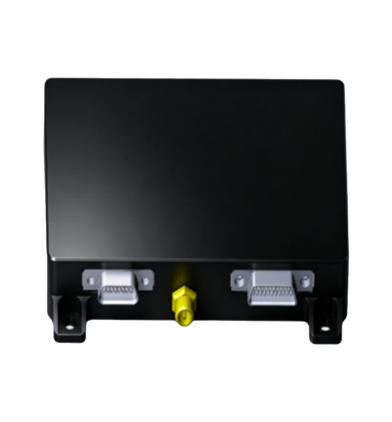
CW-VINS00
Visual-Inertial Fusion Navigation System
Product Overview
The visual + inertial integrated navigation system enables aircraft to completely get rid of satellite navigation. It can output position, heading and attitude information of the aircraft throughout the whole flight from takeoff to landing.
The system is mainly composed of barometer, visual board, MEMS IMU, integrated navigation algorithm board, visible light / infrared camera.
The integrated algorithm fuses satellite, visual navigation and high-precision MEMS pure inertial navigation / attitude algorithm. Confidence threshold is preset inside the algorithm. GNSS / Visual / Inertial modes can switch autonomously, supporting 7×24h continuous output of longitude, latitude, altitude, heading and attitude.
When aircraft flies over oceans, grasslands, lakes, deserts and other areas where visual positioning fails, the tactical-grade high-precision MEMS inertial navigation will be adopted automatically according to scenarios to guarantee positioning accuracy.
Main Features
- Modular Design
- 100% Domestic Production
- Works without Satellite Navigation
- Anti-Spoofing Function
- Autonomous Switch of GNSS / Visual / Inertial
- Max Flight Speed: 250m/s
- Geo-Fence Function Available
- Positioning Accuracy Not Limited by Time & Distance
Visual-Inertial Integrated Navigation Block Diagram

Performance Specifications
| Category | Parameter | CW-VINS00 |
|---|---|---|
| Basic Physical Parameters | Dimension & Weight | (70*64*20) mm; ≤ 200g |
| Power Consumption & Supply | <20W / 12-32V | |
| Communication Interface | Mavlink/Ublox, RS232/RS422/UART | |
| Mapping Coverage | 20000km² ~ 200000km² | |
| Output Frequency | 1~10Hz | |
| Operating Temperature | -45℃ ~ 80℃ | |
| Shock Resistance | >500g | |
| Max Supported Flight Speed | ≥ 250m/s | |
| Land Positioning Accuracy | Latitude & Longitude Accuracy | ≤15m (50m ≤ Flight Height ≤500m) ≤ 2% × Flight Height (500m ≤ Flight Height ≤5000m) |
| Altitude Accuracy | ±1m | |
| Attitude Accuracy | 0.03° ~0.5° | |
| Pure Inertial Navigation Performance (Visual Denied Area) |
Pure Inertial Drift (5min) | 15km, typical speed:180km/h |
| Max Horizontal Deviation (5min) | 50m, MEMS Pure Inertial | |
| Pure Inertial Drift (30min) | 90km, typical speed:180km/h | |
| Max Horizontal Deviation (30min) | 2km, MEMS Pure Inertial |
Outline Dimension Drawing
